Lop Nur, Loulan, northern Tibet: Sven Hedin's survey notes from four journeys into Central Asia
Text and illustrations produced by the pipeline
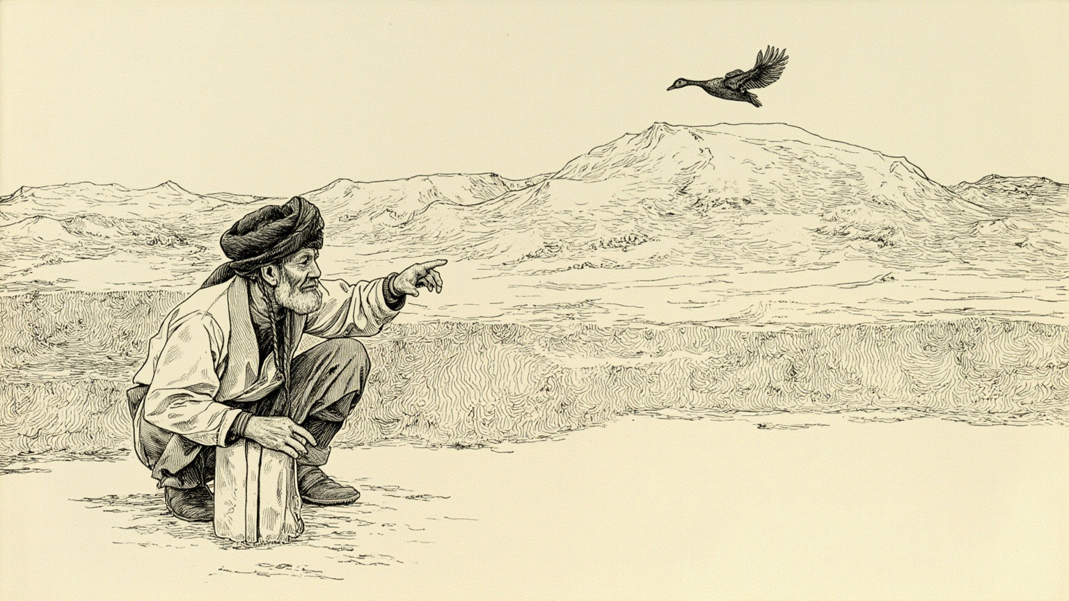
March 1900, northwest of Lop Nur. A wild duck burst up out of a gap between the wind-carved earthen mounds, and the hunter tracking it stopped short — the ground had broken open, and a carved wooden beam lay exposed underneath, still bearing traces of gold leaf. His name was Ordek, one of the Lop hunters Hedin had hired, and he rode back to camp that same night to report it. A few months later, this ruin buried under sand for more than a thousand years had a name of its own: Loulan.
Loulan re-entered the modern world because of that one report and the return trip that followed. The author of this book, Sven Hedin, was standing right there when Ordek told him, and it was Hedin who sketched the site plan.
My Life as an Explorer first appeared in Swedish, in Stockholm, in 1925; an English edition came out in London that same year, with a foreword by Caspar Whitney. Underneath the main story runs a full record of mapmaking — sketching maps by lamplight in the tent at night, reading the theodolite by day. The main story itself is one man's account of four expeditions into the heart of Asia over twenty years. It is an explorer's memoir and a cartographer's field log at once.
It is remembered for two reasons. First, the blank spaces Hedin filled in — Lop Nur, northern Tibet, the source of the Indus — were among the last large gaps left on the map of the world. Second, he caught a turning point exactly: the age of geographic discovery was closing out, and satellites and aerial photography would soon do the same work he was doing by hand, but their turn had not come yet, so his hand-drawn maps stayed in use well into the era of aerial survey. He caught the last boat out.
Sven Hedin himself first entered Central Asia at twenty-eight. Trained at the University of Berlin under the German geographer Ferdinand von Richthofen, he carried the full weight of a European scientific education — what he packed was not a scimitar and a taste for romance but a theodolite, a barometer, and reams of blank survey paper. This is the trait that sets the book apart from ordinary adventure stories: he was a technician, not a wanderer.

Kasim was his earliest and most trusted Lop hunter from along the Tarim River, with him from 1893 onward. For decades he managed supplies, read direction, and kept watch over the fire on desert nights. In this book he has a name and a face — he is not reduced to local color.
Ordek is the hunter chasing the duck at the start of the book — he was the one who first came upon the wooden beam in the wind-carved mounds. The moment Loulan was seen again by the outside world in 1900 began with him, not with Hedin. In the chapters Hedin writes, he does not disappear into the crowd.


The 1905 to 1909 expedition through Tibet, Persia, and to the source of the Indus is the last and heaviest piece of mapmaking in the book. Hedin traveled and surveyed along the Yarlung Tsangpo, the Sutlej, and the upper reaches of the Indus, filling in the blanks that then existed on the map of northern Tibet and the upper Indus piece by piece. These hand-drawn maps stayed in use among geographers for years after his death, until satellite imagery and aerial photography replaced them one by one.
The other side of that theme concerns Hedin's own blind spot: he wrote this book from inside the self-understanding of a European explorer, cartographer, scientist, before any real reckoning with taking the artifacts out had taken shape in him, and before his later dealings with Nazi Germany had happened at all. So a reader today comes away from the book with three things at once: the credit for filling in the world map, the certainty and pride of nailing his own name into the history of exploration, and a shadow he did not see coming at the time. All three belong to the book. There is no need to polish it up, and no need to clear it of blame either.
It is well written because of the chapter on the 1895 crossing into the heart of the Taklamakan. It holds back — no lingering on bodies, no staging of the deaths, no wallowing — it just lays out, one line after another, how the party dehydrated under the sun, how the camels went down one after another, how two of the men went down too, and how Hedin himself lived only because he crawled to the Khotan River and drank. That pressed-down, unemotional way of writing is exactly what makes this one of the heaviest life-and-death passages in exploration literature, and what makes it a firsthand record no discussion of exploration history can skip today.
The other place it is well written is the section on finding Loulan — Hedin does not write himself as the protagonist. He is clear in the book that Loulan was stumbled into by a local hunter chasing a duck; Ordek is the one who acted first, and Hedin was only the one who came back afterward to draw the site. That honesty takes the heat out of the word discovery in the book, and it leaves the writing with less self-heroics than it might otherwise have had.
Before the guide was written, this book got a visual foundation — every illustration you just read grew out of it.
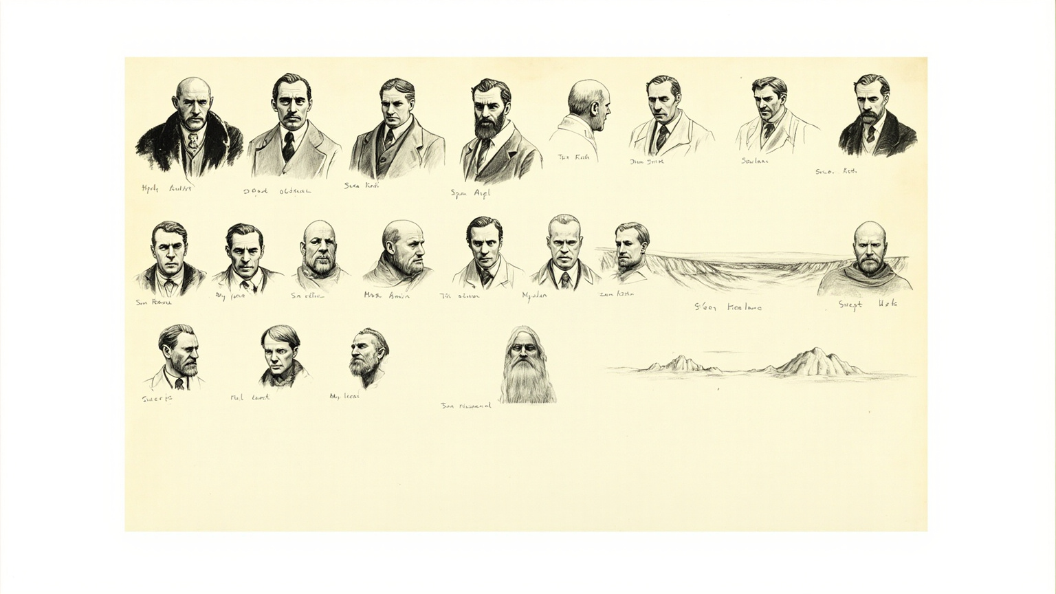
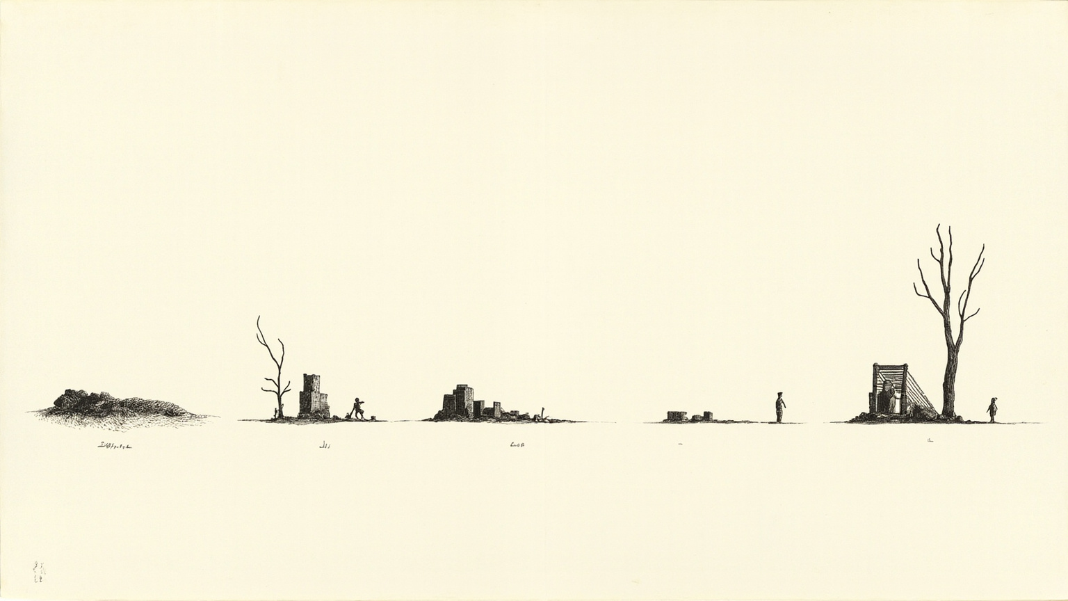
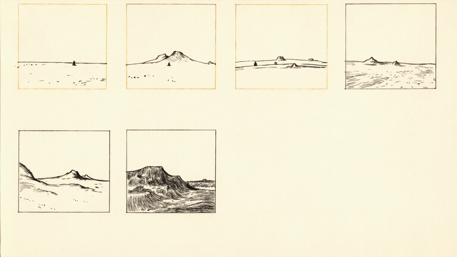
In 1893, at twenty-eight, Hedin left Berlin, spurred on by one line from Richthofen: go to Central Asia, it is still blank on the map. That single drive ran through the rest of his life — to fill in the blanks with his own hands. The sand sea of the Taklamakan, the mysterious salt lake at Lop Nur, the empty reaches of northern Tibet, the source of the Indus — each was a patch on the world map still waiting to be colored in.
He made four expeditions in all. The first, 1893 to 1897, crossed the Tarim Basin from Kashgar. The second, 1899 to 1902, centered on Loulan and Lop Nur. The third, 1905 to 1909, covered Tibet and the source of the Indus. Not long after, he set out on a fourth — the exact years are left for the book itself to reveal. The spine of the book is these four routes laid one on top of another.
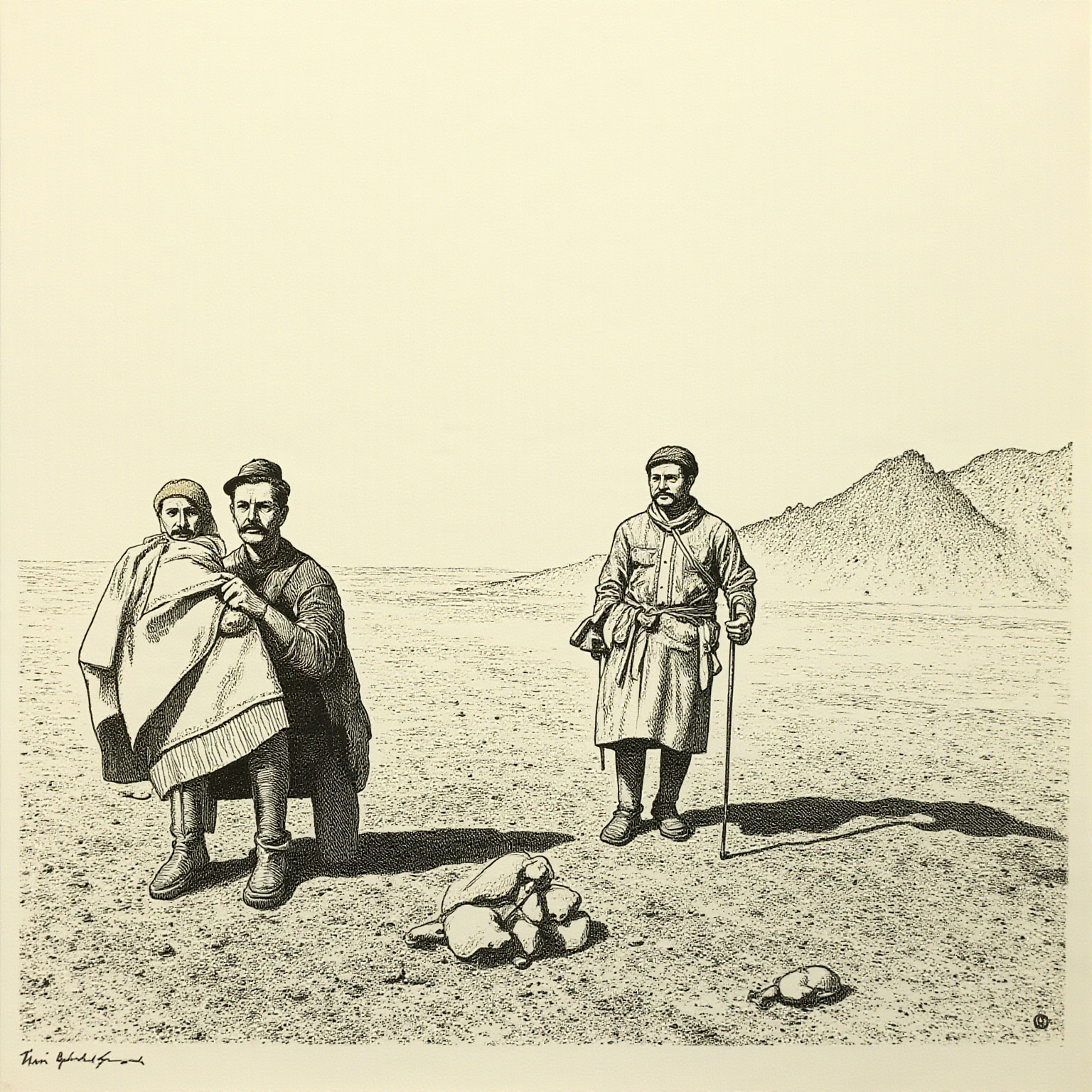
His first trip into Central Asia went straight into the heart of the Taklamakan. The 1895 crossing out of Kashgar is the most dangerous stretch in the whole book — the party led its camels deep into the desert, the water ran out, the camels went down one by one, and two of the men with him did not survive. Hedin lived because he crawled to the bank of the Khotan River and drank. He writes this section with restraint, no embellishment, just the facts laid out one after another — and that restraint is exactly what makes it land harder than any exaggeration could.
In 1899, back in the Tarim Basin, he followed the Tarim River downstream, heading north, and set foot for the first time in the salt-lake country of Lop Nur. What makes Lop Nur strange is that its position does not stay fixed — the lower reaches of the Tarim and the Konche Rivers swing back and forth between north and south, and the lake body drifts along with them. Hedin worked this observation into his survey maps, and it became the theory that later exploration literature and the history of science could not get around: the wandering lake. Chinese scholars in the mid-to-late twentieth century revised this theory using studies of river hydrology and lake-bed sediment, so it should not be treated as settled today.
He set up his theodolite on the salt crust around Lop Nur and recorded the shape of the shoreline, the salinity of the water, the dead poplars along the bank. At night in the tent he spread out large sheets of paper and turned every number he had read that day into a line of contour on the map. What he was drawing was not a landscape — it was a working base map for future people to check against.
In March 1900, the trip northwest of Lop Nur was meant to be nothing more than a resurvey of an old riverbed. The small thing that happened that day was that the guide, Ordek, went hunting — he chased a duck into the wind-carved mounds and saw where the ground had collapsed to expose bare earth: fragments of wooden structures, pieces of a Buddha statue, scraps of carved wood. He did not stop to look closely. He turned around, rode back to camp, and reported it.
Hedin decided to leave it alone for the moment and turned the party back the next day. He later returned to the site and, following the broken walls, the timber remains, the dry wells, drew the plan of the place line by line, reconnecting this Silk Road city that had lain buried under sand for more than a thousand years to the modern world. He gave it a name: Loulan. That single act is what set the name Loulan firmly into every modern account of the Western Regions from then on.
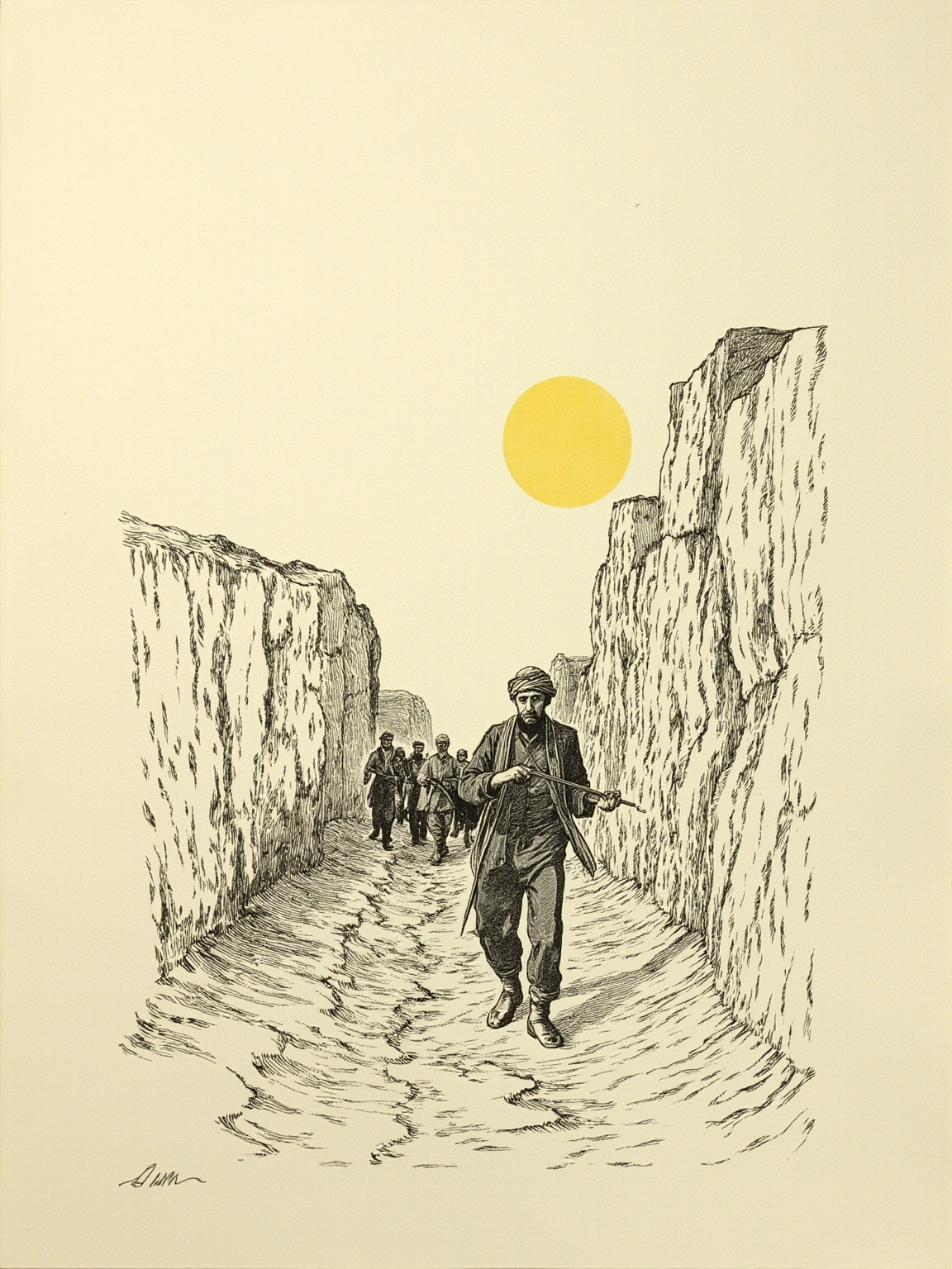
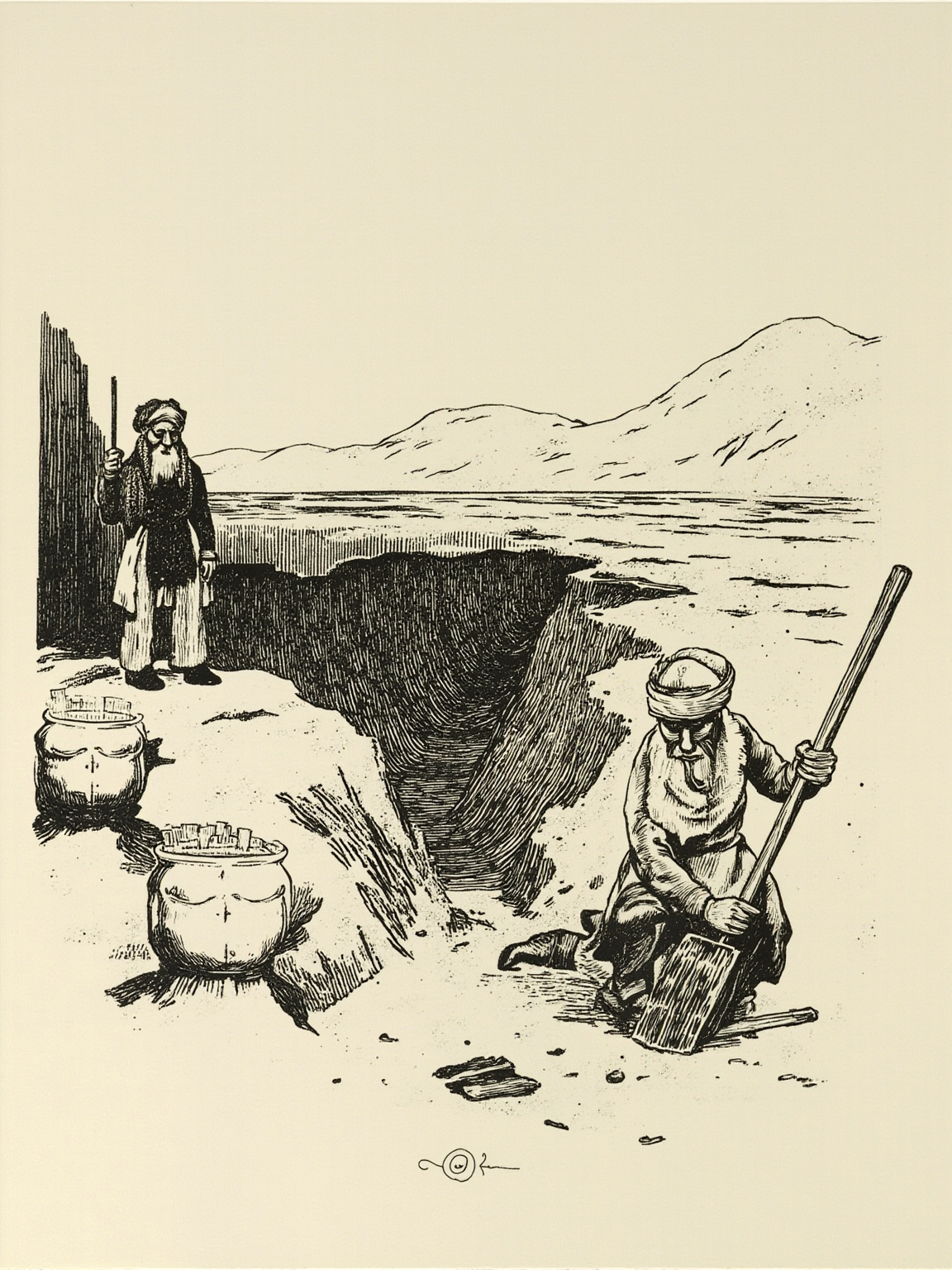
The fieldwork that followed ran more than half a year, through 1900 and 1901. Kasim, Ordek, and the other Lop men did the digging — they dug wooden slips, paper documents, scraps of silk, Buddhist carvings, and timber fragments out of the wind-carved mounds and the ruined city, sorted and bagged to Hedin's instructions. Hedin writes this stretch of the book almost like an inventory: which day, which numbered bag, what category of object it held.
These artifacts were later shipped out of northwest China and scattered across museums in Europe. When this book was written in 1925, that fact had not yet produced the kind of ownership dispute it would raise today, but Hedin himself bore direct responsibility for taking the material out, and any account of the book owes the reader clarity on that point. Looking back at the book today from the vantage of northwest China, many readers find this the shadow it cannot shake.
Somewhere on the plateau he wrote something close to a joke at his own expense — the gist of it was that this stretch of road made him hate it and refuse to leave it unfinished at the same time. I am not sure which line is the original wording, but the tone comes through: exhaustion and pride sitting together in how he talked about his own work.
This book was written in 1925, a full look back at his own twenty years in Central Asia — the way he chose to close out a career was to sit down and write its testimony himself. The timeline needs to be stated plainly: his later, clear turn toward Nazi Germany after 1935 — the address at the 1936 Berlin Olympics, the correspondence with Hitler and Ribbentrop, shipping still more Loulan and Dunhuang artifacts to Europe — all of that happened after this book was published in 1925. What any account owes the reader is a clear timeline: not avoided, not erased, and not folded into the 1925 self-portrait either.
The man on these pages is entirely who he was before 1925. What came after cannot be set aside.
It says two things. The first is literal: the world still had blank squares on the map, and a person on foot could fill them in — this was the last romantic window of geography at the turn of the twentieth century, and Hedin happened to be sitting right in it, catching the last batch of squares left to fill. The second sits underneath: a map is not drawn, it is walked into existence, with feet, with camel-back, with fingers stiff from cold, inside a tent that lets the light through. This book says that more plainly than any academic paper could.
A guide like this one gives you the map. The text itself is the ground. What you hear in the guide is bone — events, years, a handful of names, a few routes. What Hedin packed into the book is the flesh: a lamp swaying in the tent at night, the stroke of his pen running a contour line across a big sheet of white paper; his knuckles going a little stiff with cold as he wrote in his diary while a camel went down beside him; the few minutes of hesitation in which he read Ordek's report and felt something in it, this is wrong, there is something here, and decided to turn back. None of that travels in a guide. One more thing: the tone he writes in, in 1925, is that of a European scholar looking back on himself having caught the last boat of the age of geographic discovery, carrying a pride that has no equivalent today, a faint wistfulness in the thought that there was not much blank space left on the world map for him to fill. That tone lives only in the text itself.
Filling in the map took Hedin a lifetime on his feet. His book lets us walk it in an hour.